2. Towering 2000 ft above the Colorado River, Dead Horse Point provides some of the best views of the canyon country of Southeastern Utah. In the 1800s, cowboys used Dead Horse Point to catch wild horses. With the steep cliffs on all sides and a narrow access, they would herd the horses into the dead end before closing the gap with a fence. According to legend, a band of horses were left to die at this waterless point. Thus, the name: Dead Horse Point.

3. Not far from the entrance to Dead Horse Point two 600 ft high buttes greeted us - Merrimac, the bigger on the left and Monitor on the right. They were named after the two ironclad ships that fought each other in the American civil war. It seemed the shape of the 2 ships bore a striking resemblance to the 2 Entrada Sandstone buttes.
4. How were these interesting and unique rock formations

 formed? Literature explained that they were sculpted after hundreds of millions of years of gradual sedimentation (at times under the sea),
  uplifting of the ground by volcanic activities by up to 10 000 ft, and erosion by natural forces like water and wind. The Entrada Sandstone was made up of different layers of sedimentation, each with different hardness. Quite naturally, the softer soil wore out more rapidly, thus causing the upper layers to collapse and creating these interesting forms. This same reason explains the many interesting rock formations seen in the states of Wyoming, Colorado, NW New Mexico, NE Arizona, and SE Utah. Even as we speak, this transformation process continues.
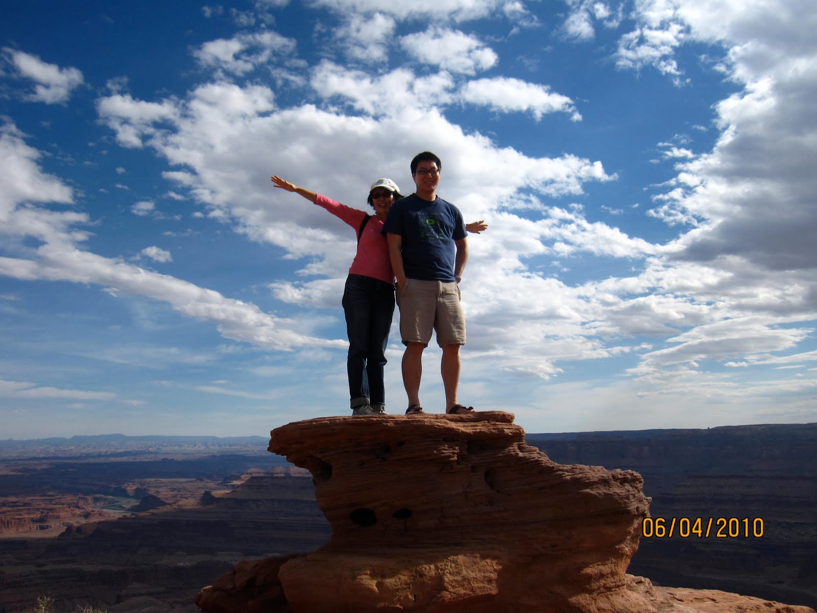
5. Here's the visitor centre of Dead Horse Point State Park, nicely blending in with the landscape. Nearby, a pile of rocks conveniently allowed Li Hoon and Weiping to take this top-of-the-world fun picture.


6. This formation at Dead Horse Point reminded me of Angkor Wat in Cambodia. The left picture shows Colorado River making a big loop and cutting through the terrain.
7. In this view, we wondered what's the patch of bright blue in the
 distance. The nearby information board explains that it was for potassium mining. Water containing potassium, pumped from the ground, was left to dry in containers lined with the bright blue material that prevented leakage. It added that the whole process was environmentally friendly.
8. Next day, 4 June, Day 18, we set aside the morning for Canyonland National Park. Canyonland is made up of 2 parts - Island in the Sky, North of the park, near Dead Horse Point, and the other, The Needles, to the South. North and South are not connected by internal park road. The Needles could only be reached some distance from South of Moab. To save more time for Arches National Park, we decided to only visit Island in the Sky and skip The Needles.
9. Key highlight of the Island in the Sky was Mesa Arch. Here we

 trekked about 0.5 mil to reach Mesa Arch. It was amazing how nature on its own could create a structure like that. Apparently, the earth
  was first lifted up by volcanic activities into a convex shape. Over time, the softer material (which could include salt since the land was under the sea at one time) under the harder convex material was eroded away to form the arch. The many arches in Arches National Park were created the same way.

10. At the Shafer Canyon Overlook, we could see tracks that 4x4 vehicles could use to explore the basin. On one side were
 3 circular basins that seemed to have been created by water eddy currents possibly over millions of years. In one, the track was clearly visible, zig-zagging to the bottom. This was apparently created when the area was mined for uranium.

11. Over at the Grand View Overlook, we could clearly see Green River meandering Southwards.

12. Other than Mesa Arch and other arches in the Arches National Park, nature also has
 its way of creating other objects of art, like this arch out of petrified wood. We saw many other beautiful pieces too.
 13. Before we arrived in the area we were expecting desert like condition, with little greenery and mostly rocks and sands. We were pleasantly surprised. With an average of 9 inches of rain a year, some hardy plants and flowering plants survive. The flowers were colourful and lovely.


14. After our packed lunch of fried rice, we visited Arches National Park.

Its the first Caucasians to reach Bryce Canyon were Mormon scouts in the 1850s, who were interested in agricultural development and settlement.
ReplyDeleteEvents in Bryce